

LEICA Geosystems has launched the new RTC series of terrestrial laser scanners.
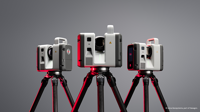
The Leica RTC300, 500, and 700 series is said to combine the ‘speed, capability and versatility’ of the RTC360 with the ‘robustness and superior accuracy’ of the ScanStation P-Series, enabling specialised workflows across surveying, construction, industrial plants, public safety, and infrastructure.
It includes three performance tiers based on the same platform. As projects grow in size and demand, users can upgrade to a higher performance tier without replacing their system.
With the new RTC series, scanning, registration, and data sharing become one continuous process. 3D data moves between field, cloud and office. Livelink, a new capability in Leica Cyclone FIELD 360, streams scan data to Hexagon GeoCloud as it is captured. Multiple scanners can feed into one shared project in real time.
“The RTC series reflects where reality capture is headed: faster data capture, better connected teams, and a platform built to scale,” said Tanja Birner, president at Hexagon’s scanning & mapping division. “It gives customers a more powerful way to work today – and the confidence that their investment scales with them.”
The new RTC series replaces the existing Leica RTC360/LT and Leica ScanStation P30/P40/P50 product lines.


